A 5.5 Meter Wave Scenario Puts Coastal Preparedness in Focus
A magnitude 8.3 earthquake along the Manila Trench could generate a tsunami reaching 5.5 meters, Philippine earthquake officials have warned, putting coastal evacuation plans in Metro Manila under renewed scrutiny. Across the country, 66 of 82 provinces are identified as being at risk, about 80 percent of the total.
Contents
- A 5.5 Meter Wave Scenario Puts Coastal Preparedness in Focus
- What the Earthquake Scenarios Actually Describe
- Which Communities Face Exposure?
- Why Waiting for an Alert Can Be Dangerous
- Past Disasters Show the Stakes
- The Danger Does Not End With the First Wave
- Local Plans Need Testing and Accessible Warnings
- Evacuation Buildings Require Engineering Checks
- Key Points
The urgent issue is how little time residents may have to move. A modeled Metro Manila scenario discussed at a preparedness forum estimated waves reaching the coast in approximately five to 20 minutes. The Philippine Institute of Volcanology and Seismology (PHIVOLCS), however, says local tsunamis can reach shorelines in just two to five minutes.
Those figures describe different circumstances, not a guaranteed evacuation window. Officials stressed that the modeled scenarios are not predictions of the exact effects of a future earthquake. The discussion included both a Metro Manila scenario and a separate magnitude 8.3 Manila Trench scenario, each citing a maximum wave height of about 5.5 meters.
PHIVOLCS Deputy Director Dr. Ma. Mylene Martinez-Villegas told coastal residents that strong or prolonged shaking should prompt immediate action, even before a formal tsunami alert arrives.
"Residents should not wait for authorities to issue an alert if they experience strong or prolonged shaking near the coast. Other natural warning signs include the sudden recession of seawater or unusual sounds coming from the ocean," said PHIVOLCS Deputy Director Dr. Ma. Mylene Martinez-Villegas.
The warning concerns a possible disaster, not an announcement that such an earthquake is imminent. Its practical message is that residents and local authorities need evacuation arrangements that can work within minutes, including when shaking disrupts communications or damages routes.
What the Earthquake Scenarios Actually Describe
The Manila Trench warning concerns an offshore earthquake capable of generating a tsunami. A trench marks a zone where one section of the Earth's outer shell moves beneath another. Earthquake movement that displaces the seabed can also move the water above it, producing waves that travel toward the coast.
Officials also discussed a separate maximum magnitude 7.2 earthquake scenario involving the West Valley Fault, which could cause major damage in affected areas and nearby communities. That scenario must not be confused with the Manila Trench tsunami estimate. The two involve different earthquake sources and different descriptions of the threat.
PHIVOLCS distinguishes magnitude, the measure of energy released by an earthquake, from intensity, the severity of its effects on people, structures and the environment. A magnitude figure alone does not describe the damage at every location, nor does it establish the height of a tsunami at every shoreline.
The 5.5 meter estimate should therefore be understood as a scenario result, not a uniform water level throughout Metro Manila. Officials have not specified a date for the hypothetical earthquake, and the warning does not establish a street by street flood depth or evacuation time.
Which Communities Face Exposure?
PHIVOLCS identified Valenzuela, Navotas, Malabon, Pasay, Las Piñas, Parañaque and Manila as Metro Manila cities prone to tsunamis. Office of Civil Defense National Capital Region Director George Keyser said Makati may also be affected through the Pasig River corridor.
That distinction matters for planning: exposure cannot be assessed solely by whether a household directly overlooks the sea. The warning about the Pasig River corridor points to the need to consider waterways when identifying potentially affected communities and evacuation routes. It does not establish that every neighborhood in Makati would flood.
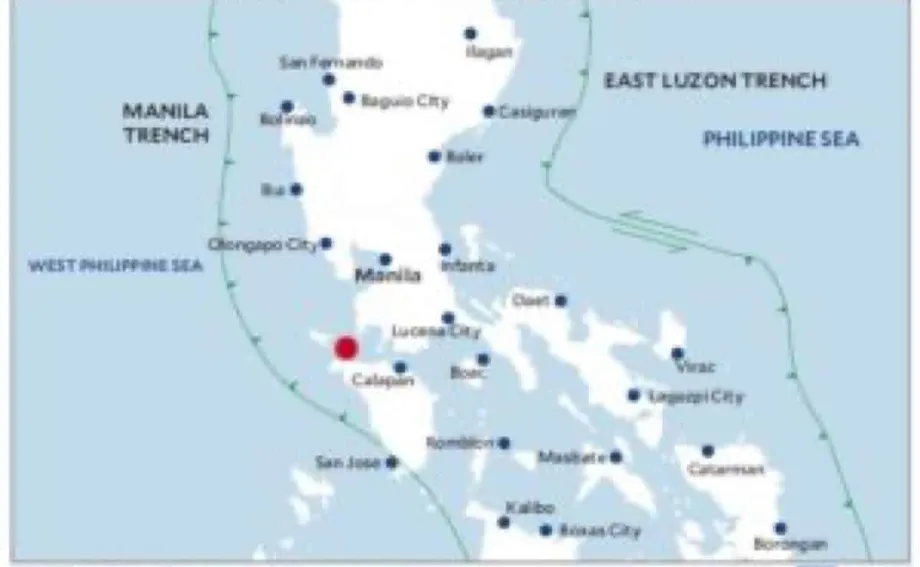
Nationally, PHIVOLCS identifies offshore earthquake sources on both sides of the country, including the Manila, Negros, Sulu, Cotabato and Philippine trenches and the East Luzon Trough. Its Tsunami Prone Map shows coastal areas that may be affected by tsunamis generated by undersea earthquakes or submarine landslides.
The agency's national guidance says all Philippine coastal areas can be affected by local tsunamis. That broader statement and the figure of 66 exposed provinces describe different aspects of risk: one concerns coastal exposure, while the other counts provinces. Neither means that every part of an identified province faces the same danger.
Why Waiting for an Alert Can Be Dangerous
PHIVOLCS sets out the shortest arrival times in its Earthquake Hazards guidance. Local tsunamis, typically generated within about 100 kilometers, can reach shorelines within two to five minutes. Their sources include offshore active faults, subduction zones, submarine landslides and volcanic material flowing from land into water.
The five to 20 minute arrival estimate discussed for Metro Manila is therefore not a national minimum. Residents should not interpret it as permission to spend several minutes confirming a warning before leaving an exposed coastal area.
Distant tsunamis operate on a different timescale. PHIVOLCS says waves generated elsewhere around the Pacific Ocean or the Celebes Sea can take one to 24 hours to reach Philippine coasts. Earthquakes in the Pacific can threaten provinces facing that ocean, even when the earthquake itself occurs outside the Philippines.
Natural warning signs include strong or prolonged coastal shaking, sudden withdrawal of seawater and an unusual roaring sound from the ocean. The instruction to act after strong shaking does not depend on seeing all those signs together.
Martinez-Villegas, explaining where residents should go after recognizing danger, gave a direct instruction:
"People should move away from the shoreline and proceed to safer, elevated areas," Villegas added.
The difference between local and distant events is central to preparedness. An alert system may provide valuable information, but an earthquake close to shore can leave too little time for an official message to become the first trigger for evacuation.
Past Disasters Show the Stakes
PHIVOLCS's tsunami preparedness statement records two deadly Philippine events. They show that tsunami danger is not limited to the largest earthquake scenario now being discussed for the Manila Trench.
- August 17, 1976: A magnitude 8.1 earthquake along the Cotabato Trench generated tsunami waves as high as nine meters. Around 8,000 people were killed or went missing.
- November 15, 1994: A magnitude 7.1 earthquake in Mindoro generated a tsunami that drowned 38 people.
The nine meter waves recorded in the 1976 disaster were 3.5 meters higher than the 5.5 meter estimate in the present Manila Trench scenario. That comparison shows the scale of a past disaster, but it is not a forecast for Manila: the earthquake sources and affected coasts differ.
The Mindoro event also illustrates why earthquake magnitude cannot be treated as a simple threshold below which a tsunami is harmless. A magnitude 7.1 earthquake produced a fatal tsunami, even though its magnitude was lower than either the 1976 event or the hypothetical magnitude 8.3 Manila Trench earthquake.
In the preparedness statement, Renato Solidum Jr., identified as Department of Science and Technology undersecretary and PHIVOLCS officer in charge, advocated community awareness focused on natural warning signs, warnings and evacuation procedures. Recalling past disasters, he quoted a Japanese proverb:
the next disaster strikes after we have forgotten the last one.
The Danger Does Not End With the First Wave
PHIVOLCS describes a tsunami as a series of waves, not a single surge. Waves may continue for hours, cause extensive flooding and reach far inland. A pause after an initial wave does not, by itself, establish that the danger has passed.
The force of moving water can destroy or displace houses, buildings and bridges. Vehicles, large rocks and other debris weighing several tons can be carried inland. People face danger from both incoming water and the strong currents flowing back toward the sea.
Damage can persist long after floodwater recedes. Seawater can enter freshwater supplies and make them unsafe to drink. Salt contamination can leave agricultural land unusable for years, extending the consequences beyond immediate casualties and structural damage.
The earthquake that generates a tsunami can also create separate obstacles to escape. PHIVOLCS says strong shaking can damage buildings, trigger fires and cause liquefaction in susceptible ground. Liquefaction occurs when loose, water saturated sediments temporarily behave like a liquid, potentially deforming the ground or causing structures to sink or tilt.
Beaches, riverbanks, deltas, reclaimed land and floodplains can contain such sediments, although susceptibility depends on their composition and condition. This makes evacuation planning a combined earthquake and tsunami task: a route must be assessed for its likely condition after shaking, not simply its distance from the shoreline.
Local Plans Need Testing and Accessible Warnings
Keyser said local governments have evacuation areas, warning signs and community drills, with preparedness activities in Parañaque and Las Piñas discussed at the forum. He stressed the need for clear, consistent information, evacuation planning suited to local conditions and coordination among local governments and concerned agencies.
The Office of Civil Defense in the National Capital Region also cited contingency arrangements for assistance from other regions if an emergency overwhelms Metro Manila's response capacity. Such support concerns the broader emergency response. It cannot replace the immediate movement of residents facing a tsunami that may arrive within minutes.
Officials said plans must be tested and updated as communities, infrastructure, leadership and population change. Drills can reveal gaps between a route shown on a plan and one that residents can actually use, while helping people identify their destination before an emergency.
Martinez-Villegas also called for warnings that reach communities with limited electricity or internet access. Alternative communication channels, local languages and approaches organized through communities were discussed as ways to avoid leaving people outside the warning network.
ARISE Philippines representative Dr. Joseph Bacareza highlighted private sector partnerships and community participation. Activities discussed included hazard assessments, building safety checks, drills based on disaster scenarios and training for local governments, schools and communities.
Evacuation Buildings Require Engineering Checks
One unresolved issue is how to assess buildings that might serve as vertical evacuation sites. Vertical evacuation means moving to a suitable elevated part of a structure when reaching safer ground elsewhere is not practical. It requires more than choosing a nearby tall building.
PHIVOLCS said the Philippines does not yet have a specific standard for tsunami evacuation buildings. Officials called for engineering assessments covering earthquake resistance, ground conditions and wave impacts before potential structures are used for evacuation.
These checks address connected risks. A building must remain usable after the earthquake, stand on ground capable of supporting it and withstand the forces associated with tsunami flooding. Height alone does not establish those qualities.
No timetable for adopting a dedicated standard was announced in the forum account. Nor was a list of assessed vertical evacuation buildings established. The immediate priorities remain testing local plans, communicating accurate warnings and ensuring residents know the safer destinations identified for their communities.
Key Points
- A magnitude 8.3 Manila Trench scenario could generate a tsunami reaching about 5.5 meters. It is not a prediction of an imminent earthquake.
- A modeled Metro Manila scenario estimated arrival in five to 20 minutes, while PHIVOLCS says some local tsunamis can reach shorelines within two to five minutes.
- Seven Metro Manila cities were identified as tsunami prone. Makati may also face exposure through the Pasig River corridor.
- Coastal residents experiencing strong or prolonged shaking should move to safer, elevated areas without waiting for an official alert.
- Tsunami waves can continue for hours and cause lasting damage to freshwater supplies and farmland.
- Potential evacuation buildings need engineering assessments. PHIVOLCS says a specific Philippine standard for these structures is not yet in place.