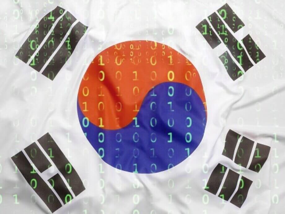
Why South Korea’s High-Precision Map Data Is at the Center of a Global Tech Tug-of-War
South Korea’s high-precision map data—detailed enough to show every alleyway and building—has become the focus of a heated debate involving global tech giants Apple and Google, national security experts, and trade negotiators. As both companies press for permission to export this sensitive data, the Korean government faces a complex dilemma: how to balance digital innovation, economic interests, and the imperative of national security.
- Why South Korea’s High-Precision Map Data Is at the Center of a Global Tech Tug-of-War
- What Makes South Korea’s Map Data So Valuable?
- Apple and Google’s Push: What Do They Want and Why?
- Security Concerns: Why Is the Data So Sensitive?
- Apple vs. Google: Different Approaches, Different Challenges
- Trade Tensions and Digital Sovereignty: The Bigger Picture
- Why Don’t Google and Apple Just Build Their Own Maps?
- What Happens Next? The Government’s Deliberation Process
- Implications for Tourists, Businesses, and the Future of Mapping in Korea
- In Summary
What Makes South Korea’s Map Data So Valuable?
At the heart of the controversy is the 1:5,000 scale digital base map maintained by South Korea’s National Geographic Information Institute (NGII). This map is so detailed that 1 centimeter on the map represents just 50 meters on the ground, allowing for precise identification of streets, alleys, and even individual buildings. The data is a critical foundation for next-generation technologies such as autonomous vehicles, smart cities, and digital twins—virtual replicas of real-world environments used for planning and simulation.
Unlike many countries, South Korea’s mapping data is publicly funded and updated annually, making it a rich resource for both domestic and international companies. However, strict laws prohibit the export of this data without government approval, citing concerns that it could reveal sensitive military or government facilities if transferred overseas.
Apple and Google’s Push: What Do They Want and Why?
Both Apple and Google have formally requested permission to export South Korea’s high-precision map data for use in their global mapping services. Their goal is to enhance features such as turn-by-turn navigation, real-time traffic updates, and support for advanced applications like autonomous driving and AI-powered location services. Currently, both companies are limited to using less detailed 1:25,000 scale maps, which restricts the accuracy and functionality of their services in South Korea.
Apple’s latest application, filed in June 2025, marks its second attempt after a previous request was denied in 2023 due to national security concerns. Google, meanwhile, has made multiple requests since 2007, all of which have been rejected for similar reasons. The government is expected to decide on Google’s latest application by August 11, while Apple’s request is under review with a decision due by September.
Security Concerns: Why Is the Data So Sensitive?
The Korean government’s primary concern is that exporting high-precision map data could expose the locations of military bases, government buildings, and other critical infrastructure. While satellite imagery is widely available, the combination of detailed map data with other geospatial information could make it easier for hostile actors to identify and target sensitive sites.
South Korea’s laws require that any export of high-precision map data be reviewed by a multi-agency panel, including the ministries of land, defense, foreign affairs, and intelligence. The panel can impose conditions such as blurring, camouflaging, or downgrading the resolution of sensitive areas—a practice already followed by domestic companies like Naver and Kakao.
Expert Perspectives on Security Risks
Kim Sang-bae, a professor at Seoul National University, warns that allowing foreign companies to use the data for AI training could undermine Korea’s competitiveness in artificial intelligence:
“If the data is used for AI training, it could have a significant impact on Korea’s AI competitiveness.”
Lee Jung-hyun, an information security expert at Seoul Women’s University, highlights the diplomatic risks:
“It is impossible to exclude specific companies or countries (to export high-precision maps), which could give rise to diplomatic and trade-related issues. If a large number of foreign companies are allowed entry, the Korean government may face significant challenges in regulating them afterwards.”
Apple vs. Google: Different Approaches, Different Challenges
While both companies seek the same data, their approaches differ in ways that could influence the government’s decision:
- Apple maintains local server infrastructure in Korea, which allows for rapid intervention if security issues arise. This is a key advantage, as the government prefers data to be stored domestically for oversight and emergency response.
- Apple is more flexible in accepting government-imposed conditions, including blurring, camouflaging, or downgrading the resolution of sensitive sites. Apple has also indicated willingness to use SK Telecom’s T Map as a base data source, aligning with local standards.
- Google does not operate map servers in Korea and has resisted demands to build local data centers. While Google has agreed to blur sensitive sites, it has also requested the government provide exact coordinates of these locations—a request that has raised additional legal and security concerns.
This contrast is not lost on policymakers. Apple’s willingness to comply with local regulations may give it an edge, while Google’s insistence on global data processing and reluctance to invest in local infrastructure has drawn criticism from both officials and industry observers.
Trade Tensions and Digital Sovereignty: The Bigger Picture
The debate over map data export is unfolding against a backdrop of broader trade negotiations between South Korea and the United States. The U.S. government has labeled Korea’s restrictions on map data exports as a “nontariff barrier,” and the issue has become a bargaining chip in ongoing tariff talks. President Donald Trump’s administration has pressured Seoul to ease these restrictions, arguing that they unfairly disadvantage American companies.
At the same time, South Korea is keen to protect its digital sovereignty and support its domestic tech ecosystem. Local mapping services like Naver Maps, TMap, and Kakao Maps dominate the market, offering advanced features and real-time updates that foreign platforms struggle to match due to data restrictions. These companies are required to store data domestically, pay local taxes, and comply with strict security protocols—conditions that global tech giants have been reluctant to accept.
The Economic Stakes
South Korea’s location-based services market is valued at over 11 trillion won (about $10.2 billion), with more than 99 percent of companies being small or mid-sized. Critics argue that giving Google or Apple free access to the NGII’s publicly funded map data could tilt the playing field in favor of global platforms, potentially undermining local innovation and long-term competitiveness.
Why Don’t Google and Apple Just Build Their Own Maps?
Some experts question whether access to the NGII’s high-precision map is truly essential for Google and Apple. Professor Choi Jin-moo of Kyung Hee University notes that both companies have the technical capability to build detailed maps using satellite imagery, AI, and crowdsourced data, as they do in other countries with strict data controls.
“Yes, the 1:5,000 map would help, especially for pinpointing pedestrian pathways. But Google could build the necessary layers on its own using its vast trove of satellite imagery and artificial intelligence processing, just like it does in countries that don’t share any base map data at all.”
OpenStreetMap, a crowdsourced platform, already offers walking navigation in South Korea, and Apple Maps provides similar features without access to the NGII’s data. The real advantage for Google and Apple would be convenience and cost savings—gaining a ready-made, taxpayer-funded foundation for their services, which they could then monetize through ads and API licensing.
What Happens Next? The Government’s Deliberation Process
The decision on whether to allow the export of high-precision map data rests with a consultative body composed of representatives from multiple ministries, including land, defense, foreign affairs, intelligence, and trade. The panel must notify applicants of its decision within 60 days, with the possibility of a one-time extension. Both Apple and Google’s applications are currently under review, with deadlines set for August and September, respectively.
In response to the growing complexity of the issue, the National Geographic Information Institute has commissioned an urgent study on export policy for spatial information assets. The study aims to propose phased export strategies beyond 2027 and address related issues such as digital service taxes and the extraterritorial application of domestic laws.
A Land Ministry official explained the government’s approach:
“It is about objectively assessing the national interest. If we find blind spots or weaknesses, we plan to establish countermeasures.”
Implications for Tourists, Businesses, and the Future of Mapping in Korea
For tourists and foreign residents, the limitations of Google Maps and Apple Maps in South Korea are a well-known inconvenience. Features like walking directions, real-time navigation, and address search are often unavailable or less accurate than on domestic platforms. Most locals rely on Naver Maps, TMap, or Kakao Maps, which offer comprehensive services but often lack multilingual support.
For businesses, especially those in the mobility, logistics, and AI sectors, access to high-precision map data is seen as essential for innovation and competitiveness. The outcome of the current debate could shape the future of digital infrastructure in Korea and set a precedent for how other countries manage the export of sensitive geospatial information.
In Summary
- Apple and Google have both requested permission to export South Korea’s high-precision 1:5,000 scale map data, aiming to enhance their mapping services and support advanced technologies.
- The Korean government has strict laws restricting the export of such data due to national security concerns, particularly the risk of exposing sensitive facilities.
- Apple’s approach—maintaining local servers and accepting government-imposed security measures—contrasts with Google’s preference for global data processing and reluctance to invest in local infrastructure.
- The issue is entangled with broader trade negotiations between South Korea and the United States, with the U.S. labeling the restrictions as a nontariff barrier.
- Domestic mapping services dominate the Korean market, benefiting from regulatory protections and local expertise.
- Experts argue that Google and Apple could build their own detailed maps using alternative methods, but access to the NGII’s data would provide a shortcut and cost savings.
- The government’s decision, expected in August and September, will have significant implications for national security, digital sovereignty, and the future of mapping in Korea.