
Offshore designation puts conservation boundaries in focus
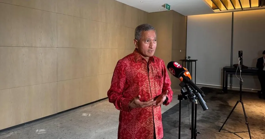
Indonesia's Ministry of Energy and Mineral Resources says Ujung Kulon National Park remains outside mining areas under Ministerial Decree No. 65.K/MB.01/MEM.B/2026, signed by Energy Minister Bahlil Lahadalia on February 12, 2026. The decree places some surrounding waters in a mineral planning category, drawing scrutiny over protection of the world's only remaining natural habitat for Javan rhinos.
Contents
- Offshore designation puts conservation boundaries in focus
- What the ministry says the map means
- The park includes protected sea as well as land
- How the offshore designation developed
- What would be required before any mining
- A legislator seeks revocation and an open audit
- Why fishing grounds and community rights matter
- Rhino relocation is a separate conservation decision
- A new calf brings the habitat debate into focus
- Key Points
Ministry spokesperson Dwi Anggia said on November 17 that no mining permits had been issued for either the park or the surrounding waters concerned. The ministry says the offshore designation continues arrangements established in 2017 and 2022, rather than changing the park's conservation boundaries.
The dispute has brought together three decisions with different consequences: mapping potential mineral resources, authorizing mining operations and considering whether some rhinos should move to a second habitat. The government says the first has occurred in some nearby waters, the second has not, and the third requires a complete scientific study.
Rieke Diah Pitaloka, a member of Commission XIII of Indonesia's House of Representatives, is asking the government to revoke the decree and publish the maps and scientific reasoning behind it. Her concerns extend beyond the park boundary to fishing grounds, coastal ecosystems and the rights of local and customary communities.
What the ministry says the map means
The disputed offshore sectors are classified as Wilayah Usaha Pertambangan, or WUP, meaning Mining Business Areas. Geological information indicating potential mineral deposits provided the technical basis for including them in national mineral resource planning, Anggia said.
Anggia, speaking as the energy ministry's spokesperson, explained the legal purpose of that classification:
"The designation of a Mining Business Area, which is part of the national mineral resource planning and management framework, does not constitute a permit or authorization to conduct actual mining operations," Anggia said.
The decree's attached map shows some waters around Ujung Kulon in the WUP category while leaving the national park outside mining areas. The practical issue is where those mapped sectors sit in relation to protected waters and other uses of the sea. Rieke wants that relationship made visible through an open comparison of digital maps.
The park includes protected sea as well as land
Ujung Kulon, in Pandeglang district, Banten province, includes a substantial marine area. Its management area is listed at approximately 105,694 hectares, comprising about 61,357 hectares of land and 44,337 hectares of water. Those figures put roughly 42 percent of the park at sea, making marine boundaries a central part of the debate.
Ari James Faraddy, head of Banten's Energy and Mineral Resources Agency, said on November 18 that provincial spatial rules prohibit mining within both the land and marine portions of the park. He cited Banten Regional Regulation No. 1 of 2023, which designates those areas for conservation.
Ari said a mining business must satisfy rules governing how space can be used before it can obtain authorization. Within Ujung Kulon's conservation area, he said, those rules do not permit mining. The park has also held UNESCO World Heritage status since 1991.
The national and provincial explanations address different parts of the same process: the energy ministry maps mineral potential, while spatial rules determine which activities are allowed in a particular location. For residents and conservation managers, precise boundaries connect those two systems.
How the offshore designation developed
The ministry traces the designation to proposals from Banten's provincial government more than a decade ago. Anggia said the 2026 decree repeats and revises part of the 2022 framework in response to provincial proposals.
The main steps described by officials are:
- 2013: Banten proposed mining areas that included provincial offshore waters.
- 2014: Ministerial Decree No. 1204 excluded the proposed waters.
- November 16, 2015: Banten submitted a renewed proposal through letter No. 540/763-Distamben/2015.
- 2017: Ministerial Decree No. 3672 included some waters surrounding Ujung Kulon as WUP.
- 2022: Decree No. 84.K/MB.01/MEM.B/2022 retained the designation.
- February 12, 2026: Bahlil signed the current decree on Banten's mining areas.
- November 17 and 18, 2026: National and provincial officials publicly explained the designation and conservation restrictions.
Anggia's explanations place the renewed proposal in 2015, supported by the dated provincial letter, although another account of her remarks places a renewed submission in 2014. The detailed chronology identifies the November 2015 letter as the proposal preceding inclusion in the 2017 decree.
What would be required before any mining
Indonesia's mining framework separates a broad planning area from an area allocated for a business license and from the license itself. Anggia said any future licensing must comply with Law No. 4 of 2009 on Mineral and Coal Mining, as amended by Law No. 2 of 2025.
A proposed location would first need designation as a Wilayah Izin Usaha Pertambangan, or WIUP, meaning a Mining Business License Area. That area would then be awarded to a business through an auction or a priority mechanism permitted by law. The business would still need an Izin Usaha Pertambangan, or IUP, the mining business license.
Spatial planning compliance, marine space utilization approval known as PKKPRL, and environmental approval are also required. In simple terms, these processes examine whether the proposed activity belongs in that location, whether it fits rules for using the sea and how its environmental effects would be addressed. Environmental impact assessment forms part of that scrutiny.
The Banten decree also identifies People's Mining Areas, or WPR, which provide a basis for small community mining permits, and State Reserve Areas, or WPN. State reserve areas can move into a special mining business category through a change of status under the applicable rules. The controversy around Ujung Kulon concerns the WUP designation.
A legislator seeks revocation and an open audit
Rieke called on November 17 for the government to revoke Decree No. 65.K/MB.01/MEM.B/2026 and conduct an open audit. She wants officials to explain the intended use of the offshore areas, who might benefit from them and how the boundaries were selected.
Her requested review would place the WUP digital map alongside conservation boundaries, marine spatial plans, fishing grounds and areas used by local and customary communities. That comparison would let affected residents examine how a mineral planning decision relates to the places where they work and live.
Rieke also asked the government to delay issuing mining licenses and related permits in the disputed locations until spatial, environmental and human rights reviews, together with meaningful public consultation, are completed. That is a request for a licensing pause; the ministry's current position is that no permits have been issued.
Why fishing grounds and community rights matter
Rieke's objections reach beyond whether the park itself appears inside a mining polygon. She wants the government to assess possible effects on coastal ecosystems, fishing livelihoods and local cultural practices before advancing decisions about extractive activity near a conservation area.
For fishing communities, the requested map comparison would show whether proposed mineral sectors overlap with waters they use to earn a living. For customary communities, she called for attention to their rights and participation from the planning stage, rather than waiting until a company seeks permission to operate.
Rieke also proposed bringing mining, conservation, community rights, complaints and public service information together through Indonesia's One Data program. Her aim is a common set of government information that can support scrutiny and corrections to policy. She linked that effort to stronger accountability through revisions to proposed human rights legislation.
Rhino relocation is a separate conservation decision
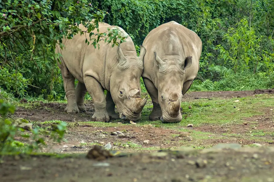
Ujung Kulon holds the entire known wild population of Javan rhinos, estimated by WWF at approximately 50 animals. That concentration is the reason supporters of a second habitat want some rhinos moved to Alas Purwo National Park in Banyuwangi district, East Java.
Hashim Djojohadikusumo, the president's special envoy for climate and energy and President Prabowo Subianto's brother, discussed the proposal on November 12 at a COP31 media briefing in Antalya, Turkey. He cited the possibility of a tsunami caused by an earthquake or an eruption of nearby Anak Krakatau. Supporters argue that a second population could reduce the risk of a single disaster affecting the entire species.
The proposal has drawn objections, including from Pandeglang's deputy regent. Rieke has argued that relocation is not the only conservation option and that protecting the existing habitat from damage caused by people remains essential.
Indonesia's Government Communications Agency, Bakom RI, said rhinos would not be moved to Alas Purwo before a complete scientific study. No relocation date was announced. Such an assessment would need to address habitat, food, environmental conditions, animal health and the ability of rhinos to adapt to a new location.
A new calf brings the habitat debate into focus
A camera trap recorded a new Javan rhino calf with its mother, Desy, at 9:35 p.m. Western Indonesian Time on October 10, 2026. The calf was estimated to be between one and two months old when first identified and appeared healthy and active while following its mother.
Ardi Andono, head of Ujung Kulon National Park, said Desy was also in very good condition and displaying experienced maternal behavior. Park staff planned intensive monitoring around the location while avoiding disturbance to the pair.
The calf is Desy's fifth recorded offspring, following Arjuna in 2013, Arum in 2015, Hawa in 2018 and Syauki in 2024. The observation adds a specific new breeding record as officials debate how to protect the species in its present habitat and whether to establish another population elsewhere.
Mahfudz, acting director general of Natural Resources and Ecosystem Conservation, said patrols and habitat security would continue to support natural breeding. He also described further protection through the Javan Rhino Study and Conservation Area, or JRSCA. These measures focus on keeping rhinos safe within Ujung Kulon while the proposed second habitat undergoes consideration.
Key Points
- The energy ministry says Ujung Kulon National Park is outside mining areas and no mining permits have been issued for the park or the nearby waters concerned.
- Some surrounding waters have a WUP mineral planning designation dating to 2017 and retained in the February 2026 decree.
- Banten officials say provincial conservation zoning prohibits mining within the park's land and marine areas.
- Rieke Diah Pitaloka wants the decree revoked, maps published and licensing delayed pending review and consultation.
- A proposed move of some Javan rhinos to Alas Purwo requires a complete scientific study before proceeding.
- A new calf recorded with Desy in October adds to the park's documented breeding history.