53 vessels across a broad stretch of the western Pacific
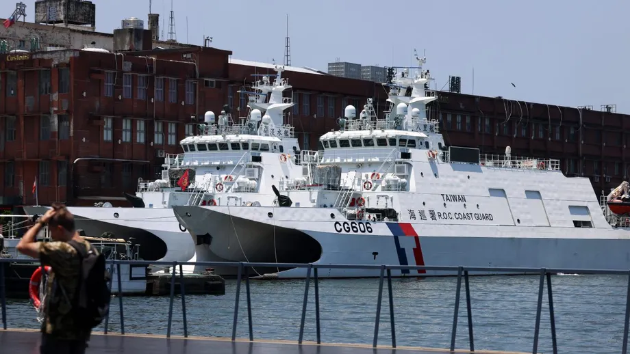
Taiwan has warned of a simultaneous threat to itself, Japan and the Philippines after National Security Council Secretary-General Joseph Wu published a map showing 53 Chinese naval and other official vessels across waters stretching from southern Japan to the east of the Philippines.
Contents
The map, posted on X on the evening of October 28, 2026, identified 34 navy warships and 19 Coast Guard and other official vessels. Among them was the aircraft carrier Liaoning, whose accompanying battle group was operating east of the Philippines. Other formations were positioned off Taiwan's eastern and southeastern coasts, with three formations off southern Japan.
Wu, Taiwan's senior national security official, described the movements as a concern shared by all three places:
We're staying vigilant about their activities. The simultaneous threat to Taiwan, Japan and the Philippines is obvious.
China's defence ministry had said earlier in October that Liaoning was conducting routine training that was not directed at any specific country. Taiwan Defence Minister Wellington Koo responded on October 29 that Taiwan opposed attempts to project military deterrence that could undermine peace and stability in the Indo-Pacific.
The competing descriptions place the same naval activity at the centre of a wider dispute: Beijing describes its carrier operations as training, while Taipei sees pressure extending across several parts of the region at once. Taiwan says its military had already been tracking the vessels through surveillance and intelligence exchanges with partners.
What the fleet map shows
The 53 vessels included more than warships. Navy ships accounted for 34, or about 64 percent of the total, while the remaining 19 were Coast Guard and other official vessels. That mix matters because Taiwan is tracking the movements of several branches of China's maritime forces, rather than a single naval formation.
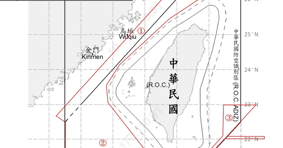
Liaoning and its accompanying ships were east of the Philippines, while other groups were spread farther north. Accounts of Wu's illustration also described more than ten warships and Coast Guard vessels east of Taiwan and several warships in waters southwest of the island.
Wu said multiple formations, including the carrier group, were exercising east of the First Island Chain. This is a geographical term for the island arc running from Japan through Taiwan toward the Philippines. Operating east of that arc places ships in the wider western Pacific, beyond the waters immediately between China and those islands.
The distribution explains why Wu framed his warning around three places rather than Taiwan alone. The map brought together Chinese activity near southern Japan, off Taiwan and east of the Philippines in one regional picture.
Japan tracks a passage into the Pacific
Japan's defence ministry provided a specific account of Chinese vessels moving through the northern part of that area. On October 28, it said three Chinese warships and a Coast Guard ship had passed through the Osumi Strait the previous day, travelling into the Pacific.
The strait lies off Kyushu, the southernmost of Japan's four main islands. Its role in this account is straightforward: it was the route taken by the four vessels as they moved from waters near Japan into the open Pacific.
Japan's description of that passage adds a dated movement to Taiwan's broader illustration of regional deployments. The three warships and one Coast Guard vessel were the group Japan tracked through the strait; Wu's map described formations across a much larger area.
The defence ministries of China, Japan and the Philippines did not immediately respond to requests for comment on Taiwan's warning. Japan's published account of the passage and China's earlier statement about Liaoning nevertheless set out parts of their official positions.
Taiwan says it had advance awareness
Koo said on October 29 that Taiwan's military had already been following Liaoning, other naval formations, official vessels and Coast Guard ships. Speaking before attending a legislative committee meeting in Taipei, he described surveillance and exchanges with partner countries as parts of that effort.
Taiwan used joint intelligence, surveillance and reconnaissance, Koo said. In plain language, that means collecting information about military activity, watching movements and combining the findings to understand what forces are doing. Intelligence exchanges add information shared by partner governments.
Koo, Taiwan's defence minister, explained his objection to the Chinese activity:
We are not happy to see any attempt to project deterrence that could undermine peace and stability in the Indo-Pacific region.
Deterrence means trying to discourage another side from taking action by showing that it would face serious costs. Koo used the term to describe the pressure Taiwan saw in China's operations. He also said Taiwan would maintain combat readiness, prepare appropriate responses and build its own ability to defend itself.
Why Taiwan is publishing the locations
Taiwan is stepping up its publication of details and maps showing where Chinese warships and Coast Guard vessels operate. Wu had published a similar map in May, making the October illustration part of a continuing effort to put the movements before the public.
The October map presents the activity as a regional picture. A carrier east of the Philippines, vessels near Taiwan and formations off southern Japan become visible together, rather than appearing only as separate encounters in different waters.
China's relations with Japan and the Philippines have deteriorated in recent months. Beijing has objected to Japanese support for Taiwan, while China and the Philippines are involved in an increasingly bitter confrontation in the South China Sea. Those disputes give each location on the map a different political setting.
For Taiwan, publishing the combined picture also supports Wu's central message: the security concern extends beyond the island. His warning explicitly named Japan and the Philippines alongside Taiwan, while Koo described the possible effects on peace and stability across the Indo-Pacific.
The dates behind the warning
The public warning followed several developments over three days. The sequence links movements at sea, a US military planning statement and Taiwan's response:
- October 27: Three Chinese warships and a Coast Guard ship passed through the Osumi Strait into the Pacific, according to Japan's defence ministry.
- October 27: US Army Pacific commander Ronald Clark spoke at a forum in Hawaii about preparations for a possible Chinese move against Taiwan.
- October 28: Japan announced the vessel passage, and Wu published his map of 53 Chinese vessels that evening.
- October 29: Koo discussed Taiwan's monitoring, intelligence exchanges and defence preparations in Taipei.
Earlier in October, China's defence ministry had described Liaoning's operations as routine training. The statements cited no end date for the carrier exercise or timetable for the formations to leave the areas shown on Wu's map.
What the 2027 planning assumption means
Clark's remarks brought a second issue into Taiwan's response: how soon military forces should be ready for a possible Chinese operation. The US Army Pacific commander said forces had prepared the Indo-Pacific theatre on the assumption that China could move against Taiwan as early as 2027.
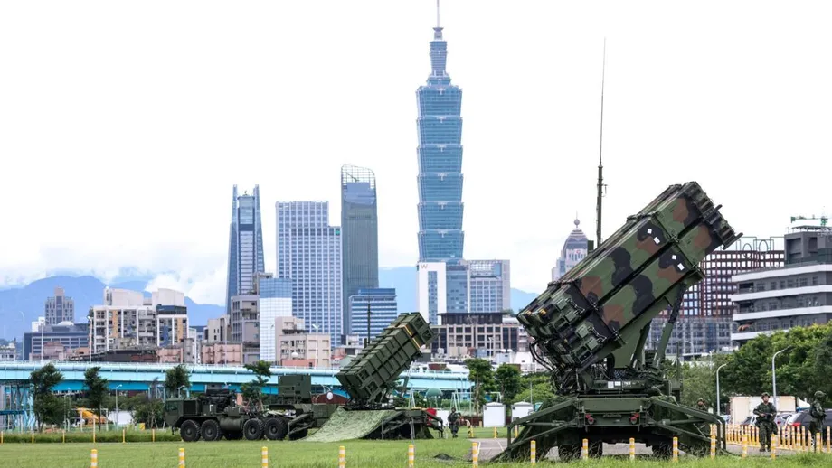
For military planners, such an assumption sets the earliest contingency they must prepare to handle. Clark's remarks concerned readiness for that possibility. Koo's response focused on Taiwan's own preparations, saying the island was building deterrence and the ability to defend itself.
Koo, explaining why Taiwan continued to prepare, pointed to Beijing's position on force:
China has never abandoned the use of force to annex Taiwan.
Beijing says it prefers peaceful reunification, but has never renounced using force to bring Taiwan under its control. It does not recognise Taiwan as a separate sovereign state. Taiwan's government says only the island's people can decide their future and that Beijing has no right to claim it.
The immediate response described by Taiwan centres on tracking Chinese forces, sharing information with partners and maintaining readiness. The broader dispute remains over who can decide Taiwan's future, with the naval deployments adding a visible military dimension to that disagreement.
Key Points
- Joseph Wu's October 28 map showed 53 Chinese vessels: 34 navy warships and 19 Coast Guard and other official vessels.
- Liaoning and its accompanying group were east of the Philippines, with other formations near Taiwan and southern Japan.
- Japan said three Chinese warships and a Coast Guard ship passed through the Osumi Strait on October 27.
- China described Liaoning's activity as routine training not directed at a specific country.
- Taiwan said it was tracking the vessels through surveillance and intelligence exchanges with partners.
- US Army Pacific commander Ronald Clark described preparations for a possible Chinese move against Taiwan as early as 2027.