More Rain in Northwest India, Greater Drought Risk on the Plains
A cold patch of ocean south of Greenland may help explain why India's summer monsoon has shifted over the past 25 years, bringing substantially more rain to northwest India while increasing drought risk across the fertile Gangetic Plain. A study published in AGU Advances by Nimmakanti Mahendra and colleagues points to this distant Atlantic feature as a missing part of climate simulations that struggled to reproduce the changes.
Contents
- More Rain in Northwest India, Greater Drought Risk on the Plains
- Why a Patch of the Atlantic Is Cooling
- The Cooling Reaches Below the Surface
- How Atlantic Cooling Redirects India's Rain
- Why Models Missed the Monsoon Shift
- A Weaker Circulation and the Risk of a Tipping Point
- The Dates Behind the Findings
- Europe, North America and Africa Face Connected Risks
- Better Observations and Forecasts for South Asia
- What to Know
The researchers found that adding the cold anomaly, often called the cold blob or the North Atlantic Warming Hole, enabled their simulations to reproduce the observed redistribution of rainfall. Their explanation connects ocean temperatures near Greenland to changes in the jet stream, the strong winds high above the ground that help steer weather systems over South Asia.
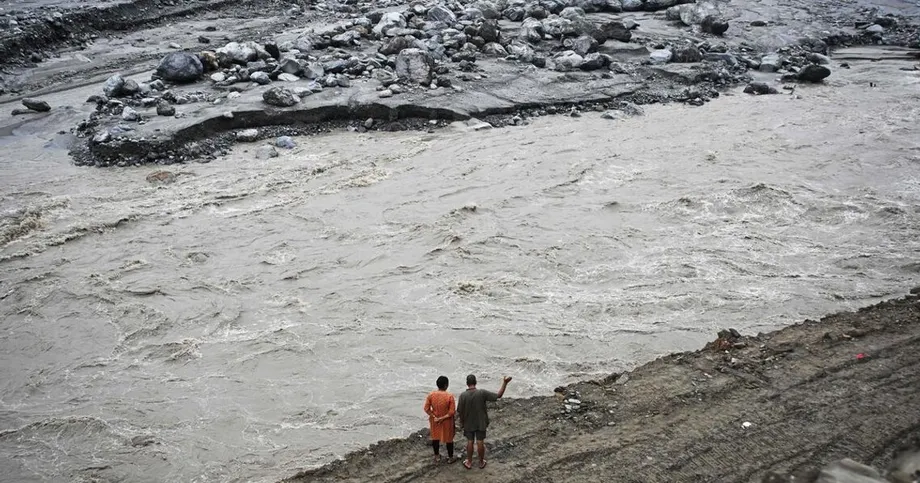
More than a billion people across South Asia depend on the summer monsoon. In India, Pakistan and Bangladesh, its arrival shapes the agricultural calendar, water supplies and economic stability. A delayed or weakened rainy season can damage rice and wheat harvests. Excessive rain in northwest India can bring floods and landslides.
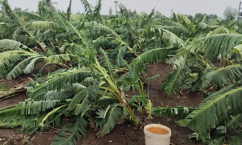
The Gangetic Plain faces a different danger. This major agricultural region needs dependable rainfall to sustain crops and feed its population, yet the changing pattern threatens to leave fields short of water. The central problem is therefore about where rain falls, as well as how much arrives across the subcontinent.
Satellite observations and ground stations have recorded this redistribution since the late 1990s. The Mahendra study offers a physical explanation for a change that commonly used climate models had missed, with consequences for farmers, water managers and governments planning for both drought and flooding.
Why a Patch of the Atlantic Is Cooling
The ocean south of Greenland has cooled by roughly 0.3 degrees Celsius over the past century, even as most of the world has warmed. On maps of global temperature change, the cold blob appears as a blue patch surrounded by red areas representing warming.
Scientists have considered atmospheric aerosols, natural variability and changes in ocean circulation as explanations. Recent research links the anomaly to a slowdown in the Atlantic Meridional Overturning Circulation, known as the AMOC.
The AMOC carries warm tropical water northward and returns cold water toward the equator at depth. As northern waters release heat and cool, their density increases, helping them sink. This sinking is part of the circulation that keeps water and heat moving through the Atlantic.
Greenland's melting ice adds fresh water to the North Atlantic. That fresh water dilutes the salt in surface waters, making them less dense and less able to sink. A weaker circulation delivers less tropical heat to the region south of Greenland, helping the cold blob develop and persist.
A study published in Nature used observations and climate models to investigate the anomaly. Only simulations with a weakened AMOC reproduced the observed cooling and freshening in the warming hole. The researchers estimated that the circulation slowed by between 1.01 and 2.97 Sverdrups per century during 1900 to 2005.
One Sverdrup equals one million cubic meters of water per second. The unit describes the enormous flow of water involved in ocean circulation and helps explain how a change in current strength can alter heat transport across a large region.
The Cooling Reaches Below the Surface
The North Atlantic anomaly extends deep into the ocean. An analysis published in Geophysical Research Letters, using observational reanalysis data, found that reduced ocean heat transport drives the cooling rather than heat escaping from the ocean surface. Reanalysis combines observations with models to reconstruct conditions across places and periods where measurements are incomplete.
The World Meteorological Organization highlighted the contrast in its State of the Global Climate 2023 report. Ocean heat content reached record highs in 2023, while cooling in the subpolar North Atlantic extended to depths of more than 800 meters.
Laifang Li, an atmospheric scientist at Penn State University, has explained that understanding the anomaly matters because it can disturb the jet stream and change storm tracks across multiple continents. The Atlantic feature has connections to weather far beyond the water immediately around it.
A separate Penn State study found that the atmosphere and ocean contribute roughly equally to maintaining the cold blob. Cooling at the surface reduces evaporation, leaving less water vapor in the air. Water vapor is a greenhouse gas, so a decline allows more heat to escape and cools the ocean surface further.
This feedback helps maintain the anomaly: cooler water produces less atmospheric water vapor, and the reduced water vapor allows further cooling. Climate models therefore need to represent both ocean heat transport and the atmospheric response to capture how the cold patch persists.
How Atlantic Cooling Redirects India's Rain
Mahendra and colleagues connect the cold blob to the Indian monsoon through changes in the jet stream. This narrow band of strong winds circles the globe high in the troposphere, the lowest layer of the atmosphere, helping steer weather systems and transport moisture.
When the researchers introduced the Atlantic cold anomaly into their simulations, the jet stream changed in a way that drew atmospheric moisture toward northwest India. At the same time, the altered circulation restricted the formation of smaller storm systems across the Gangetic Plain.
The researchers identified a process called the barotropic governor mechanism. Barotropic describes conditions in which surfaces of equal pressure and equal density align, allowing the large atmospheric flow to exert control over smaller eddies and storm cells. A governor regulates an engine; here, the larger wind pattern limits the growth of smaller disturbances.
For the monsoon, this creates two connected effects. Moisture moves toward the northwest, while fewer systems carrying rain develop over the plains. The mechanism therefore explains a redistribution of rainfall, rather than a uniform increase or decrease across India.
The finding challenges the earlier emphasis on nearby influences, especially Indian Ocean temperatures, as the main controls on monsoon behavior. An ocean anomaly thousands of miles away can change atmospheric circulation sufficiently to affect where South Asian rain falls.
The mechanism also helps explain increased storm activity in midlatitude regions in recent years. Changes in large atmospheric circulation can rearrange weather across entire hemispheres. The study's authors stressed the need to connect processes in distant regions when building climate models.
Why Models Missed the Monsoon Shift
The Coupled Model Intercomparison Project Phase 6, or CMIP6, supplies much of the foundation for global climate projections used by the Intergovernmental Panel on Climate Change. Even these advanced simulations have struggled to match the observed Indian rainfall trends.
The Mahendra study points to weaknesses in how many coupled models represent Atlantic temperature changes and their connections to Asian weather. Coupled models simulate the ocean and atmosphere together, allowing each to influence the other. Their results depend on how accurately they reproduce those exchanges.
Scientists call connections between distant weather and climate regions teleconnections. They often operate through shifts in wind belts and large atmospheric wave patterns. The cold blob's influence on the Indian monsoon is an example of this relationship.
A model that leaves out the anomaly, or represents its intensity poorly, can miss an important influence on monsoon variability. The authors argue that accurate projections require the connected sequence to be represented: Greenland meltwater, Atlantic cooling and displacement of the jet stream over the Himalayas.
Farmers and governments rely on forecasts when choosing crops, planning water storage and preparing for disasters. A model that misses an observed regional rainfall change can provide a poor guide for infrastructure decisions and emergency preparations.
Inaccurate monsoon forecasts can disrupt planting schedules, delay emergency food aid and increase insurance losses. When predictions repeatedly fail to match the weather people experience, public trust in climate warnings can also suffer. Improving the Atlantic connection matters for practical decisions across South Asia, as well as for climate research.
A Weaker Circulation and the Risk of a Tipping Point
Evidence described in the research places the AMOC at its weakest state in at least 1,000 years. Some scientists warn that it may be approaching a tipping point, a threshold beyond which reinforcing changes push the circulation into a much weaker state.
Stefan Rahmstorf, a physical oceanographer at the Potsdam Institute for Climate Impact Research, has studied the AMOC for 35 years. He recently put the chance of a shutdown at roughly 50 percent, compared with the 5 percent he might have assigned three decades earlier. He described how his assessment had changed:
For the first 30 years we considered this a low likelihood event. It is more like 50/50 now. I would even say more likely than not.
The feedback behind the tipping risk involves both salt and sinking water. Warm, salty water flows north, releases heat, cools and becomes dense enough to sink. That sinking helps draw more warm water northward.
Fresh meltwater reduces the density of surface water and slows the sinking. With less circulation, less salt reaches the north, making the water still less able to sink. This repeating process can eventually lock the circulation into a far weaker state.
In 2023, researchers at the Niels Bohr Institute used statistical early warning signals to estimate that the threshold could be crossed between 2037 and 2109 under continued high emissions. The timing of a possible collapse remains uncertain.
A 2025 study by van Westen and colleagues at Utrecht University demonstrated the tipping point in an ocean model with high resolution. Its findings strengthened concern that the behavior also occurs in more detailed simulations, beyond simpler models.
Another 2025 analysis, led by Valentin Portmann at the University of Bordeaux, used observed Atlantic temperature and salinity data to constrain climate models. It projected an AMOC weakening of 50 percent by 2100, a steeper decline than earlier IPCC estimates. Rahmstorf argued that a decline of that size would very likely take the circulation past its tipping point.
The Dates Behind the Findings
The evidence spans more than a century of reconstructed ocean change, recent direct measurements and projections extending to the end of this century. The monsoon observations cover a shorter period, with the redistribution recorded since the late 1990s.
The main dates help explain how historical observations and future risks fit together:
- About 12,000 years ago: The AMOC weakened or shut down near the end of the last ice age after a massive influx of fresh water, bringing near glacial conditions back to Europe and shifting tropical rainfall.
- 1900 to 2005: The Nature study estimated an AMOC slowdown of 1.01 to 2.97 Sverdrups per century.
- Late 1990s onward: Satellites and ground stations recorded the redistribution of Indian monsoon rainfall.
- 2004: Direct AMOC measurements from moored buoy arrays began, providing about two decades of flow data.
- 2023: The Niels Bohr Institute study identified a possible tipping window of 2037 to 2109 under continued high emissions. The WMO's climate report for 2023 documented record ocean heat alongside deep North Atlantic cooling.
- 2025: The Utrecht study demonstrated tipping in a model with high resolution, while the Bordeaux analysis projected 50 percent weakening by 2100.
The historical event shows how sensitive climate patterns can be to Atlantic circulation. Its cause and pace differ from the present situation, while the recent studies examine how today's warming and changing ocean conditions could affect the same circulation system.
Europe, North America and Africa Face Connected Risks
A full AMOC collapse would affect regions far beyond India. Northern Europe could become sharply colder and drier, putting pressure on agriculture and increasing wildfire risk. Along the United States East Coast, sea levels could rise faster than the global average.
Asian and African monsoons could weaken, increasing water stress for billions of people. In tropical regions, changes in Atlantic rainfall distribution could intensify drought around the equator. These effects would connect ocean circulation to food production, freshwater supplies and coastal infrastructure.
Robert Marsh, a professor of oceanography at the University of Southampton, warned that societies would struggle to adapt to the rapid changes researchers project over the coming century. Reduced delivery of tropical heat could bring severe winter cold to parts of Europe while changes in the circulation increase sea level rise along eastern North America.
Some researchers also fear that changes in the Southern Ocean could release stored carbon into the atmosphere, adding to the disruption. Iceland has already designated the risk of an AMOC shutdown as a national security threat.
The Indian rainfall shift shows how an Atlantic change can redistribute weather across a distant region. A larger slowdown or collapse would bring a wider set of risks. Even a partial weakening can affect food security, water availability and the infrastructure on which communities depend.
Better Observations and Forecasts for South Asia
Scientists argue that reducing uncertainty requires better representation of links between the ocean and atmosphere. The Penn State findings add atmospheric water vapor feedback to the ocean processes that models must capture when simulating the cold blob.
North Atlantic observation networks also need sustained funding. Direct measurements from moored buoy arrays began only in 2004, leaving researchers with about two decades of direct flow records for a circulation whose changes can unfold over much longer periods.
Governments across South Asia face immediate adaptation needs. Drought resistant crops could help the Gangetic Plain manage water shortages, while northwest India needs flood management suited to heavier rainfall. Water storage, crop insurance and warning systems depend on reliable seasonal forecasts.
Models that miss the Atlantic influence may leave governments insufficiently prepared for northwest flooding or slow to provide drought relief across the plains. Incorporating the cold blob into operational forecasts could give communities more time to protect lives and livelihoods.
Greenhouse gas emissions remain part of the response. Human caused warming drives the ice melt that adds fresh water to the North Atlantic, and limiting warming can reduce that pressure. Every fraction of a degree matters alongside preparations for rainfall changes already underway.
Neil Fraser, a physical oceanographer at the Scottish Association for Marine Science, acknowledged uncertainty over the timing of a possible collapse while warning that the circulation's weakening itself carries serious risks:
Even without a collapse, a weakening of the AMOC could have serious climate impacts.
The research connects two urgent tasks: improving forecasts for an Indian monsoon that is already changing, and responding to stress in the Atlantic circulation that helps shape climate across continents. The cold blob is a visible sign of that stress, with effects appearing in rainfall far from Greenland.
What to Know
- Indian monsoon rainfall has shifted over the past 25 years, with more rain in northwest India and greater drought risk across the Gangetic Plain.
- Mahendra and colleagues reproduced the shift in simulations that included the Atlantic cold blob south of Greenland.
- The anomaly has cooled by roughly 0.3 degrees Celsius over the past century, with cooling extending deeper than 800 meters.
- Changes in the jet stream redirect moisture northwest and restrict the development of smaller systems carrying rain over the plains.
- Research links the cold blob to a weakened AMOC, while atmospheric feedback helps sustain the cooling.
- A 2025 analysis projected 50 percent AMOC weakening by 2100. The timing of a possible collapse remains uncertain.
- Better ocean observations and climate models could improve planning for drought, floods, agriculture and water supplies across South Asia.