Heavy rain first, with water supplies under pressure next
Malaysia faces a forecast of three to five episodes of prolonged heavy rain during the 2026/2027 Northeast Monsoon, followed by a possible shift toward hotter, drier weather from late January to March 2027. The combination puts flood preparations and the protection of water supplies on the same urgent agenda.
Contents
- Heavy rain first, with water supplies under pressure next
- Where the monsoon rain is expected to move
- Why less rain can still bring floods
- When heat could become the greater threat
- Three northern dams need close attention
- Kelantan's fire crews face a water problem too
- A nearby river can still be difficult to reach
- Haze may ease before fire risks move north
- Preparing for rain and conserving its water
- Key Points
The Malaysian Meteorological Department, known as MetMalaysia, identifies Kelantan, Terengganu, Pahang and eastern Johor as areas at particular risk of flooding during the early monsoon. The season began on October 27 and is expected to continue until March 2027, with the main episodes of prolonged rain forecast between November and January.
Maqrun Fadzli Mohd Fahmi, senior director of MetMalaysia's National Weather and Earthquake Operations Centre, said El Niño was already strong and could intensify toward the end of 2026 and into 2027. Speaking on October 27, he warned that declining rainfall later in the season could increase the risk of heatwaves and drought.
El Niño is a warming of the central and eastern tropical Pacific Ocean that can change winds and rainfall far beyond the Pacific. In Malaysia, a strong episode can bring less rain and higher temperatures. The expression Super El Niño describes a particularly intense episode.
Malaysia's immediate concern is still heavy rain. Recent afternoon downpours have caused flash floods in Kuala Lumpur, disrupting traffic and daily activities, while flooding has also affected Perak, Kedah and Negeri Sembilan. Different regions can face different hazards at the same time, so preparations for dry weather must proceed alongside flood readiness.
Where the monsoon rain is expected to move
Professor Emeritus Datuk Dr Azizan Abu Samah, a climatology specialist at Universiti Malaya, describes two main phases in the monsoon's usual progression. Heavy rain tends to concentrate over the east coast, including Kelantan and Terengganu, and northern Kedah during November and December. The focus then moves south toward Johor and Sarawak in January and February.
Azizan identifies the movement of the monsoon trough and bursts of stronger monsoon winds as important drivers of continuous rain. A monsoon trough is an elongated area of low air pressure where winds meet, helping clouds and rain develop. Stronger wind surges can bring sustained wet weather rather than a short afternoon shower.
Low areas and communities near rivers face particular danger when rain continues for several days. River levels can rise as water flows downstream from a much larger area than the neighbourhood experiencing flooding.
The forecast describes a season with overlapping risks:
- October 27, 2026: The Northeast Monsoon began.
- November 2026 to January 2027: MetMalaysia expects the main period for three to five episodes of prolonged heavy rain.
- January to February 2027: The usual monsoon rain focus shifts toward Johor and Sarawak.
- Late January to March 2027: MetMalaysia expects a greater risk of hotter, drier conditions.
- March to April 2027: Heat risks could become more pronounced in Peninsular Malaysia, according to Professor Emeritus Fredolin Tangang.
- April to May 2027: Dry conditions could sustain fire risks in northern Borneo, while the northern peninsula normally depends on rain during this period to replenish water reserves.
Why less rain can still bring floods
Azizan expects a strong El Niño to reduce the intensity and duration of some monsoon rainfall, particularly in November and December. He said rainfall during El Niño is generally 10% to 20% below normal.
For a place that normally receives 100 units of rain, that reduction would mean about 80 to 90 units. The timing matters: a smaller seasonal total can still include a few very wet days that overwhelm drains or push rivers beyond their banks.
Fredolin Tangang, a climatology and climate change specialist at Universiti Kebangsaan Malaysia, warned that authorities and residents must remain prepared even if the monsoon weakens on average.
Although on average the MTL weakens during a strong El Niño, this does not mean we will not face flooding. It still needs to be monitored, and we still need to be prepared,
Azizan also expects the number of monsoon wind surges could fall from the usual seven or eight to around five or six. Fewer surges could reduce exposure to large waves, coastal erosion and storm surges along shores facing the South China Sea. A storm surge occurs when strong winds push seawater toward land, temporarily raising coastal water levels.
His assessment points to a possible reduction in the risk of major flooding like that experienced in 2021. MetMalaysia nevertheless continues to forecast several episodes of prolonged heavy rain, making local warnings essential throughout the season.
When heat could become the greater threat
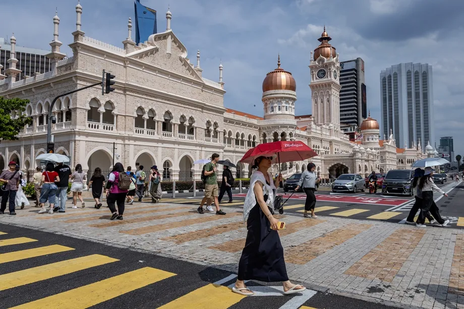
MetMalaysia anticipates hotter and drier conditions especially between late January and March 2027, with maximum temperatures potentially exceeding 41 degrees Celsius. Fredolin places the more pronounced heat risk in Peninsular Malaysia around March and April.
Maqrun explained how reduced rainfall can connect heat and water shortages:
With reduced rainfall, hot weather or heatwaves often emerge, along with drought due to water shortages caused by insufficient rainfall,
High temperatures can increase the risk of heatstroke and other illnesses associated with hot weather. A prolonged dry period also reduces the water reaching reservoirs, rivers and other sources used by households, farms and emergency services.
The exact duration of the El Niño episode remains uncertain. The forecast nevertheless gives authorities several months in which to prepare for a possible overlap between rising water demand, declining supplies and greater fire risk.
Three northern dams need close attention
Azizan identifies Timah Tasoh Dam in Perlis and the Muda and Pedu dams in Kedah as water reserves that could come under pressure if dry conditions persist. Their supplies matter to both domestic users and agriculture in the northern peninsula.
Northern states typically depend on rain during the monsoon transition around April and May to replenish reserves. If the preceding months are unusually dry, the amount of water stored before that rainfall becomes especially important.
Azizan has urged close monitoring of dam levels ahead of January and April. The practical task is to manage the water arriving during the rainy months while preparing for a later period when less may flow into storage.
Farmers growing rice outside the main season are particularly exposed to shortages. Rice cultivation needs dependable water supplies, so a prolonged dry spell can put planting and crop development under pressure.
Fredolin warned that water scarcity and lower agricultural yields could threaten food security and push food prices higher. For households, the concern reaches beyond water availability to the cost of everyday food.
Kelantan's fire crews face a water problem too
Kelantan's Fire and Rescue Department is preparing for another consequence of dry weather: more fires at a time when water may be harder to obtain. Its director, Farhan Sufyan Borhan, said the state usually experiences a dry spell from late February to April after the main monsoon period.
Farhan said Kelantan recorded 1,920 calls related to open burning in March and April, compared with more than 300 during the same months in 2023. During the recent rainy period, such incidents had fallen to roughly one or two a week.
Farhan explained that a prolonged El Niño could strain several sources of firefighting water at once:
If Super El Niño continues until March next year, the likelihood of open burning incidents will be high, and at the same time, we are concerned that water supplies may become scarce.
This is because firefighting operations still rely on water from fire hydrants, domestic supplies and open water sources,
Tumpat and Bachok are among the areas where firefighters have encountered low hydrant pressure or hydrants that were not fully functional. Farhan said pressure can change with demand, including residential consumption at night and industrial use during the day.
The department has 10 water tanker trucks that can accompany fire engines, particularly when responding to building fires. Each tanker must leave to refill once its supply runs out, making the distance to a dependable water source an important part of operational planning.
A nearby river can still be difficult to reach
A firefighting operation in Rantau Panjang, Pasir Mas, in July showed how access problems can complicate an emergency even when water is nearby. Firefighters had to draw water from the Golok River about 300 metres away.
Farhan said fencing restricted access to the river, while the nearest functioning hydrant was some distance from the fire. Crews therefore had to organise an alternative supply during the operation.
Kelantan's experience connects water management directly to public safety. Fire crews need sufficient pressure and accessible supplies, as well as vehicles capable of bringing water to the scene. Farhan said firefighters would regulate water pressure according to conditions and the size of the affected area, giving priority to preventing flames from spreading.
Haze may ease before fire risks move north
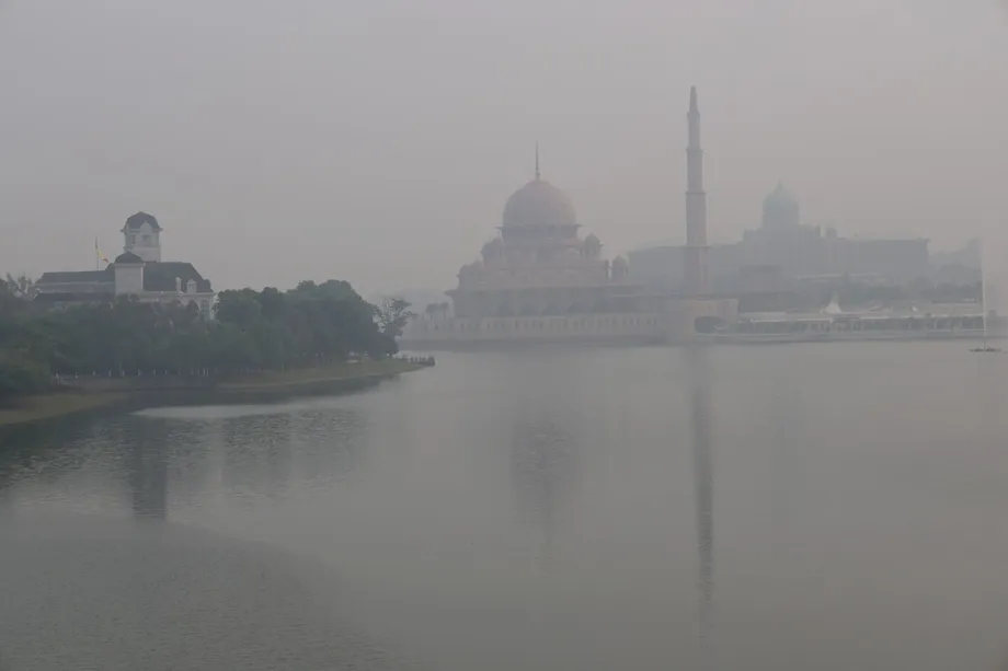
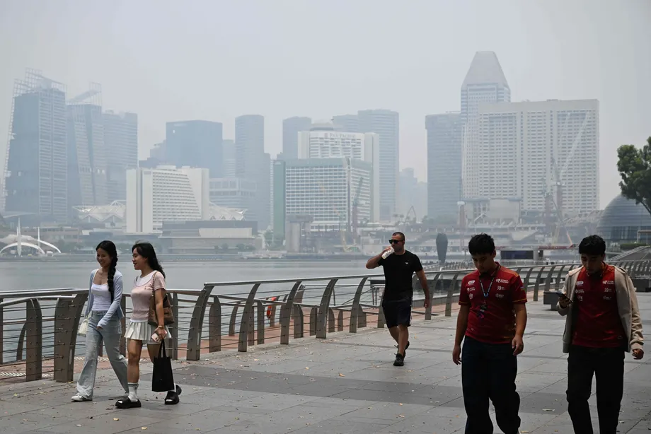
Monsoon rainfall could bring relief from haze by helping put out fires in southern Sumatra and Kalimantan. Fredolin said those areas typically receive more rain during the Northeast Monsoon, while changing wind directions can also help clear smoky air over Malaysia.
The recent haze episode began in August. An emergency was declared in Serian, Sarawak, in September after the Air Pollutant Index reached 521, showing how severe smoke pollution had become.
Azizan said a period of relief could extend from November until July 2027, before haze potentially returns with land clearing by burning and the southwest monsoon. He said its severity would depend partly on whether conditions in the Pacific became neutral or shifted toward La Niña, the cooler counterpart to El Niño.
Fredolin warned of a different geographical pattern as the season progresses. Northern Sarawak and Sabah could become drier under an extreme El Niño, increasing the risk of forest and peatland fires into April or May.
Peat is soil rich in partly decomposed plant material. When it dries and catches fire, it can smoulder below the surface and produce persistent smoke. Rainfall that helps extinguish fires in southern areas may therefore coincide with growing fire concerns farther north.
Azizan also warned about local haze from open burning, including the burning of rice straw in Kedah. He expects this pollution to be more limited than haze carried across national borders, but it remains a reason to avoid burning during dry weather.
Preparing for rain and conserving its water
MetMalaysia says it monitors weather around the clock and will issue heavy rain warnings when needed. Maqrun urged residents to follow official weather information, prepare early for flooding and comply with instructions from authorities, including evacuation orders.
Maqrun's advice addresses both ends of the forecast:
Residents in flood-prone areas should remain vigilant regarding the risk of heavy rain during the early part of the monsoon, while drier conditions towards the end of the monsoon will require preparations for possible hot weather and water shortages,
Fredolin said the ability to predict El Niño months ahead gives authorities time to incorporate climate information into disaster planning. For Malaysia, that means preparing flood responses while also monitoring reservoirs, agricultural water needs and firefighting supplies.
Rainfall during the coming months is both a hazard and a resource. Prolonged downpours can flood homes and roads, while water retained in reservoirs can support households and farms through a later dry period. Managing those needs together is the central challenge of the 2026/2027 season.
Key Points
- Malaysia's Northeast Monsoon began on October 27, 2026, and is expected to last until March 2027.
- MetMalaysia forecasts three to five episodes of prolonged heavy rain, mainly from November to January.
- Kelantan, Terengganu, Pahang and eastern Johor face particular flood risks.
- Hotter, drier weather could develop from late January to March, with heat risks extending into April.
- Timah Tasoh, Muda and Pedu dams need close monitoring as dry weather could pressure domestic and agricultural supplies.
- Kelantan has 10 water tanker trucks available to support firefighting amid concerns about hydrant pressure and water availability.
- Monsoon rain could ease haze from southern fire areas, while northern Sarawak and Sabah face later risks from dry conditions.