Smaller flood area, with danger still stretching across southern Hyogo
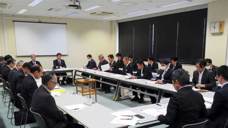
Hyogo Prefecture has reduced the area it expects a maximum class Nankai Trough tsunami to flood to 4,216 hectares, down from 6,141 hectares in its previous assessment. The revision, announced on October 15, is the first in 13 years and reflects work including coastal barriers, higher seawalls and stronger ground beneath protective structures.
Contents
- Smaller flood area, with danger still stretching across southern Hyogo
- What the revised assessment measures
- Why coastal construction changed the result
- Why a wave below one meter matters
- Evacuation remains the central instruction
- Which maps should residents consult?
- How the earthquake probability fits the scenario
- Deaths, injuries and emergency response come next
- Key Points
The new estimate cuts the projected flood area by 1,925 hectares, or about 31%. That leaves roughly 69% of the earlier footprint exposed to flooding under the modeled conditions. Expressed another way, the projected inundation area has fallen from 61.41 square kilometers to 42.16 square kilometers.
Minamiawaji, on southern Awaji Island, still faces the highest projected tsunami level in the prefecture at 6.5 meters. A tsunami reaching one meter could arrive there 42 minutes after the earthquake. Smaller waves capable of causing deaths could reach coastal areas sooner, making immediate evacuation central to the prefecture's warning.
The revision updates the expected reach of floodwater. Hyogo plans to complete its own new estimates of deaths, injuries and damage to homes during fiscal 2026, which ends in March 2027. Those figures will provide a fuller account of how the revised flooding scenario translates into harm to people and buildings.
What the revised assessment measures
Hyogo recalculated its tsunami exposure after the national government released updated Nankai Trough damage projections in March 2025. The prefecture tested conditions under which tsunami damage would be greatest, then incorporated changes to coastal protection since its previous assessment in fiscal 2013.
The prefecture's earthquake and tsunami assessment describes a magnitude 9.0 earthquake examined by a Cabinet Office panel as the maximum class event to consider in disaster planning. Magnitude measures the size of an earthquake, while tsunami height and flood extent describe different parts of its possible consequences.
A flood extent map shows where water is projected to spread across land under the assumptions used in a simulation. A tsunami level describes the water level at a coastal location. Both matter: a community needs to understand how high the sea could rise and how far inland the water could travel.
Hyogo's public assessment page also provides supporting material, calculation methods and maps of expected shaking. These form part of a broader planning system that connects the physical disaster scenario with evacuation and emergency response.
Why coastal construction changed the result
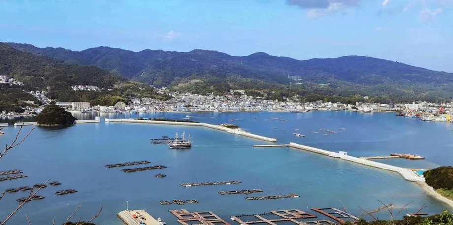
Minamiawaji's Fukura district offers a concrete example of how construction has changed the projections. Work on a breakwater at the entrance to the bay helped lower the prefecture's highest expected tsunami level by 1.6 meters, to 6.5 meters. The earlier figure was therefore 8.1 meters.
A breakwater is a barrier built in the water to reduce the force of waves entering a harbor or bay. Seawalls protect the shoreline, while ground reinforcement helps support protective structures. Hyogo attributes the smaller projected flood area to progress on measures such as these.
Other coastal areas also generally recorded lower projected tsunami levels. Across the prefecture, the combination of new protective facilities, raised walls and related work has changed how much water the simulation sends onto land.
Governor Motohiko Saito connected the results to a difficult budget discussion. He said past construction was showing an effect, while public investment faced pressure from tight finances. Disaster prevention remained an important issue, he said, and the prefecture would discuss which projects to pursue next.
Why a wave below one meter matters
Hyogo's revised calculations include arrival times for a tsunami measuring 30 centimeters, alongside the times for waves reaching one meter. The smaller threshold matters because moving water of that depth can still sweep people away and cause deaths.
The projected arrival of a one meter tsunami ranges from 42 minutes after the earthquake in Minamiawaji to six hours and 37 minutes in Tatsuno. Those figures describe when a particular wave threshold is reached. Evacuation needs to begin when the danger becomes apparent through strong or prolonged shaking.
Tatsuno's 30 centimeter tsunami is projected to arrive four hours and 33 minutes before its one meter tsunami. Subtracting that interval from six hours and 37 minutes gives an arrival time of about two hours and four minutes after the earthquake for the smaller threshold.
Ako's 30 centimeter wave is projected to arrive one hour and 43 minutes before its one meter wave. In other areas, the smaller threshold is reached about one to 19 minutes earlier. The findings give coastal communities a more useful picture of when dangerous water can begin arriving.
Evacuation remains the central instruction
Hyogo is urging people who feel strong shaking or shaking that lasts a long time to evacuate without hesitation. Residents need to use current local evacuation information to identify where to go, including areas beyond the projected reach of floodwater.
Saito, the governor, used his October 15 regular news conference to pair the progress on protective works with a direct appeal to residents. He said:
The tsunami threat remains. I want residents to keep in mind that when it happens, they should evacuate immediately.
The prefecture's planning approach combines physical protection with measures involving people and organizations. The first includes walls and breakwaters. The second includes evacuation plans, public awareness and arrangements for responding after the earthquake.
Hyogo has prepared guidance for municipal tsunami evacuation plans using lessons from the 2011 Great East Japan Earthquake, later changes to disaster arrangements and its own simulations. The revised flood projections give municipalities new information to use when reviewing those plans.
Which maps should residents consult?
Hyogo's 2013 tsunami inundation maps remain accessible, but the prefecture explicitly labels them as outdated and directs readers to maps prepared in fiscal 2026. That warning matters for anyone finding an older document through an internet search or a saved file.
The earlier mapping divided southern Hyogo into four regions: Kobe, Hanshin, Harima and Awaji. Its municipal documents included Amagasaki, Nishinomiya and Ashiya in Hanshin; coastal communities from Akashi through Ako in Harima; and Sumoto, Minamiawaji and Awaji on Awaji Island.
The older collection also provided more detailed maps for several locations, including central Sumoto and the Fukura, Ama and Mats帆 districts of Minamiawaji. Those documents show how closely tsunami planning can focus on individual coastal neighborhoods.
The fiscal 2013 maps were based on national tsunami assumptions announced on August 29, 2012. With a new prefectural assessment now replacing that work, residents and organizations checking a location should pay attention to the map's publication year and the prefecture's direction to the latest edition.
How the earthquake probability fits the scenario
The Headquarters for Earthquake Research Promotion assessed the probability of a magnitude 8 to 9 earthquake along the Nankai Trough within 30 years at approximately 60% to 90%, as of January 1, 2025. Hyogo cites that dated assessment on its public information page, which was updated on May 15, 2026.
The Nankai Trough is where the Philippine Sea plate moves beneath the continental plate carrying the Japanese islands. The plates move by several centimeters a year. Strain builds at their boundary and can be released in a major earthquake.
Hyogo's explanation says major earthquakes have occurred at intervals of roughly 100 to 200 years. Its magnitude 9.0 planning scenario sits at the largest end of the events authorities consider when preparing for disaster.
The earthquake research headquarters says records demonstrating an event of that maximum class have not been found over the past several thousand years. It considers such an event much less frequent than the major earthquakes recurring at intervals of 100 to 200 years, while retaining it as a possibility that requires preparation. The probability estimate covers the broader magnitude 8 to 9 category; the maximum class simulation supplies a demanding scenario for planning.
Deaths, injuries and emergency response come next
The national government's assessment puts potential tsunami deaths in Hyogo at about 4,100 in the worst case, rising to approximately 5,200 when other earthquake causes are included. The prefecture's forthcoming assessment will calculate its own figures for deaths, injuries and housing damage.
Hyogo already has an emergency action scenario describing what its organizations should do during roughly the first week after a Nankai Trough earthquake and tsunami. Arranged as a timeline, it is intended to guide the initial emergency response in the order events unfold.
The prefecture also publishes a Nankai Trough Earthquake and Tsunami Countermeasures Action Program, with an October 2025 revision listed on its official page. Together, these documents connect construction, evacuation planning and the work public bodies must carry out after a disaster.
The main dates in the assessment's development are:
- August 29, 2012: The national government announced tsunami assumptions used for Hyogo's earlier maps.
- Fiscal 2013: Hyogo published its first prefectural tsunami inundation assessment.
- March 2025: The national government released revised Nankai Trough damage projections.
- October 15, 2026: Hyogo announced the revised projection of 4,216 hectares of flooding.
- Fiscal 2026, ending March 2027: Hyogo plans to complete its own updated estimates of casualties and damage to homes.
Key Points
- Hyogo projects 4,216 hectares of tsunami flooding, down about 31% from 6,141 hectares.
- The revision is the first since fiscal 2013 and reflects progress on coastal protection.
- Minamiawaji still faces the prefecture's highest projected tsunami level, at 6.5 meters.
- A one meter tsunami could reach Minamiawaji 42 minutes after the earthquake; dangerous smaller waves can arrive earlier.
- Hyogo urges immediate evacuation after strong or prolonged shaking and directs residents to its latest maps.
- New prefectural estimates of deaths, injuries and housing damage are planned during fiscal 2026.