A 56,825.7 square kilometre proposal faces another test
India's seventh draft proposal to designate 56,825.7 square kilometres of the Western Ghats as an Ecologically Sensitive Area has brought the dispute over conservation boundaries back to state legislatures and village communities. Issued on July 27, 2026, the proposal covers Gujarat, Maharashtra, Goa, Karnataka, Kerala and Tamil Nadu. Its public objection period of 60 days has ended, while the expert committee examining state concerns has received an extension until July 2027.
Contents
- A 56,825.7 square kilometre proposal faces another test
- What would be prohibited, and what would continue?
- The six states carry very different shares
- Karnataka wants surveys, Kerala wants exclusions
- How repeated drafts reached this point
- The boundary separates landscapes, not necessarily risks
- Farmers have concerns that differ from commercial interests
- Wayanad shows why the map is not enough
- What can move forward before July 2027?
- The Essentials
Karnataka's legislature unanimously rejected the draft in its present form on September 22, seeking a year for physical surveys. Kerala wants inhabited areas, agricultural land and plantations excluded. Maharashtra has submitted a revised proposal, and Goa disputes the inclusion of some villages. The disagreements concern both where restrictions would apply and who would bear their economic costs.
The proposed rules target mining, quarrying, sand mining, new thermal power projects, highly polluting industries and specified large construction projects. They do not order private land acquisition, eviction or a blanket prohibition on farming. That distinction is central to a debate in which fears about homes and livelihoods often sit alongside commercial objections to limits on extraction and development.
The official record also requires careful reading. The Ministry of Environment, Forest and Climate Change's ESA notification register lists the sixth draft as S.O. 3060(E), dated July 31, 2024, alongside earlier drafts and committee documents. The July 2026 seventh draft and subsequent state responses are described in later accounts, rather than established by that register alone.
What would be prohibited, and what would continue?
The draft is proposed under the Environment (Protection) Act, 1986. An ESA designation creates a geographical area in which specified activities face restrictions because of their environmental effects. It is not, by itself, an instruction to transfer ownership of land to the government.
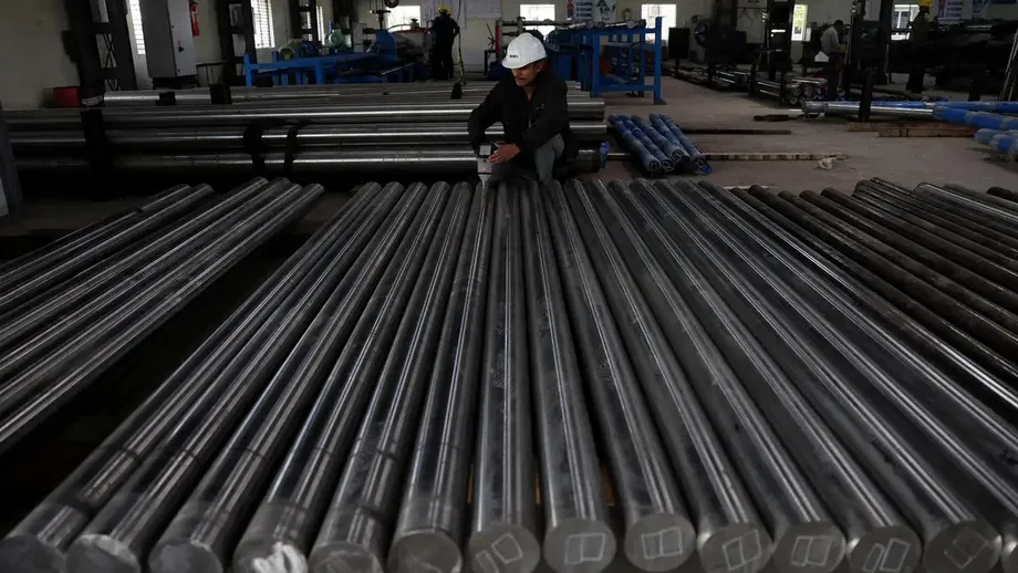
New mining, quarrying and sand mining would be prohibited within the notified area. Existing mines would have to close within five years of the final notification or when their leases expire, whichever comes first. The five year period would therefore begin with a final notification, not with publication of the draft.
New thermal power plants and expansion of existing plants would also be prohibited. The same restriction would apply to new industries in the red category and expansion of existing ones. Red category is a pollution classification used for industries with a high pollution potential, rather than a label covering every business.
For construction, the proposal prohibits new projects and expansions with a built area of at least 20,000 square metres. Township restrictions use thresholds of 50 hectares and 150,000 square metres of built area. These provisions concern specified large developments, not every alteration to a house. Existing residential buildings can be repaired and renovated.
Agriculture, plantations and ordinary community livelihoods are described as activities that can continue. Hydropower is not categorically prohibited, but projects would face environmental assessment and conditions, including a minimum uninterrupted river flow during the lean season. That requirement is intended to prevent electricity generation from leaving downstream stretches without sufficient water when natural flows are lowest.
The six states carry very different shares
The proposed area is unevenly distributed. Karnataka accounts for 20,668 square kilometres, followed by Maharashtra with 17,340. Together, those two states contain 38,008 square kilometres, or approximately 66.9% of the proposed ESA. Their responses therefore carry substantial weight in determining how much of the mountain system receives this protection.
- Karnataka: 20,668 square kilometres.
- Maharashtra: 17,340 square kilometres.
- Kerala: 9,993.7 square kilometres.
- Tamil Nadu: 6,914 square kilometres.
- Goa: 1,461 square kilometres.
- Gujarat: 449 square kilometres.
Karnataka's proposed share is approximately 36.4% of the total, while Gujarat's is less than 1%. These figures show why a uniform negotiating process can produce very different political reactions: the extent of land affected, and the activities taking place there, vary sharply between states.
Accounts differ on how close some states are to agreement. One describes Gujarat and Goa as having largely agreed on their proposed areas, with Maharashtra's revised submission still under appraisal. The Observer Research Foundation describes Gujarat and Maharashtra as largely accepting the proposal. Broad acceptance should not be confused with an agreed final village list or a completed legal notification.
Karnataka wants surveys, Kerala wants exclusions
Karnataka's rejection centres on the reliability of the map. Its legislature argues that satellite mapping does not adequately distinguish forests from plantations, farms, homes and public infrastructure. It has also raised issues involving land grants, deemed forests and pending claims under the Forest Rights Act, 2006.
Physical verification could help establish where a boundary crosses a settlement or misidentifies land use. It would not, on its own, decide whether an inhabited slope needs restrictions on quarrying or large construction. Mapping accuracy and the choice of environmental rules are related, but separate, decisions.
Kerala's requested area is reported differently. One account gives a reduction from 9,993.7 to 8,590.69 square kilometres. The Observer Research Foundation gives a proposed area of 8,711.98 square kilometres and the exclusion of 98 villages across Wayanad, Idukki and Malappuram. The two proposed totals differ by 121.29 square kilometres; the accounts do not establish whether they represent successive revisions or different submissions.
Using the first figure, Kerala would remove 1,403.01 square kilometres, approximately 14% of its draft allocation. Using the second, the reduction would be 1,281.72 square kilometres, approximately 12.8%. Either would be a substantial change, making the precise boundaries as consequential as the headline total.
Other requests are also specific. Maharashtra has sought exclusion of 378 villages. Goa wants 21 villages removed, consistent with a difference between the draft's 108 villages and the state's proposed 87. Kerala has sought exclusions involving the Cardamom Hills and parts of Idukki. Tamil Nadu's outstanding issues concern boundaries, local land use and information discrepancies.
How repeated drafts reached this point
The dispute predates the first notification. The Western Ghats Ecology Expert Panel, led by ecologist Madhav Gadgil, proposed protection across the range through three levels of ecological sensitivity, with an important role for local decision making. The subsequent High Level Working Group, led by former Indian Space Research Organisation chairman K Kasturirangan, was formed in 2012 to review that approach.
The Kasturirangan group recommended approximately 59,940 square kilometres for protection. Its narrower framework became the working basis for the draft notifications from 2014 onward. The current proposed total is 3,114.3 square kilometres below that recommendation, a reduction of approximately 5.2%.
- 2011: The Gadgil panel proposed a graded protection framework for the Western Ghats.
- 2012: The Kasturirangan working group was formed to review the earlier recommendations.
- March 10, 2014: The first ESA draft was issued as S.O. 733(E).
- September 4, 2015: The second draft was issued as S.O. 2435(E).
- February 28, 2017, and October 3, 2018: Further drafts followed.
- July 6, 2022: The fifth draft was issued as S.O. 3072(E).
- July 31, 2024: The sixth draft was issued as S.O. 3060(E).
- July 27, 2026: The seventh draft was issued, according to subsequent accounts.
- September 22, 2026: Karnataka's legislature rejected the latest draft in its present form.
There is a procedural discrepancy in the reported chronology. The Observer Research Foundation says the Environment (Protection) Rules, 1986 provide 545 days before a draft lapses. Other accounts describe the July 2024 draft as lapsing in late July 2026, roughly two years later. Those descriptions do not align without a further explanation of the applicable deadline or an extension. The sixth draft's notification date should also be distinguished from August 2, 2024, which one account gives as its publication date.
The boundary separates landscapes, not necessarily risks
The Kasturirangan framework distinguished natural landscapes from cultural landscapes. Its 2013 classification placed about 60% of the Western Ghats in the cultural category, including settlements, farms and plantations, and about 40% in the natural category, largely consisting of relatively intact forests. The proposed ESA was selected from the latter.
This distinction reduced the reach of restrictions into settled areas. It also created a difficult policy question: an altered landscape can still perform ecological functions and expose residents to environmental hazards. Home gardens, shaded plantations, paddy fields and sacred groves can help regulate water, retain soil and support biodiversity, even though they are not intact forest.
Exclusion from the ESA does not mean a place is environmentally safe. Nor does it mean all other environmental, forest or planning laws cease to apply. It means the particular restrictions attached to this designation would not operate there.
A reported decision in 2018 removed approximately 3,115 square kilometres at Kerala's request. That figure is close to the calculated difference between the Kasturirangan recommendation and today's proposed total, although the numerical similarity alone does not establish a complete history of every boundary adjustment.
For residents, the practical issue is not simply whether a village appears inside or outside a protected map. It is whether the rules distinguish cultivation and house repairs from rock extraction, major slope cutting and large developments, and whether dangerous activities above or beside settlements receive adequate scrutiny.
Farmers have concerns that differ from commercial interests
Fear about land values is one reason opposition cannot be dismissed as a mapping dispute. Alex Ozhukayil, chairman of the Kerala Independent Farmers Association, has argued that restrictions could reduce the value of agricultural property:
These restrictions impact the value of our lands, and for farmers, our land is our wealth,
That concern can exist even where cultivation remains permitted. Restrictions on future development can affect how owners perceive their assets. The accounts do not provide a measured estimate of land price changes, however, so a decline should not be presented as an established economic outcome.
Quarry operators, developers and tourism businesses face a different question: whether they may undertake activities that the draft would prohibit or restrict. Their interests may overlap with those of some landowners, but they are not interchangeable with the needs of families cultivating coffee or cardamom.
N Badusha, president of the Wayanad Prakruthi Samrakshana Samithy, frames protection as a matter of community safety rather than removal:
ESA does not mean evicting people; it means making their lives safer.
The draft's absence of an eviction requirement supports the first part of that distinction. Safety, however, depends on more than designation: enforcement, drainage management, rainfall monitoring and appropriate construction decisions would still matter. Neither claims of inevitable displacement nor promises of complete protection accurately describe the proposal.
Wayanad shows why the map is not enough
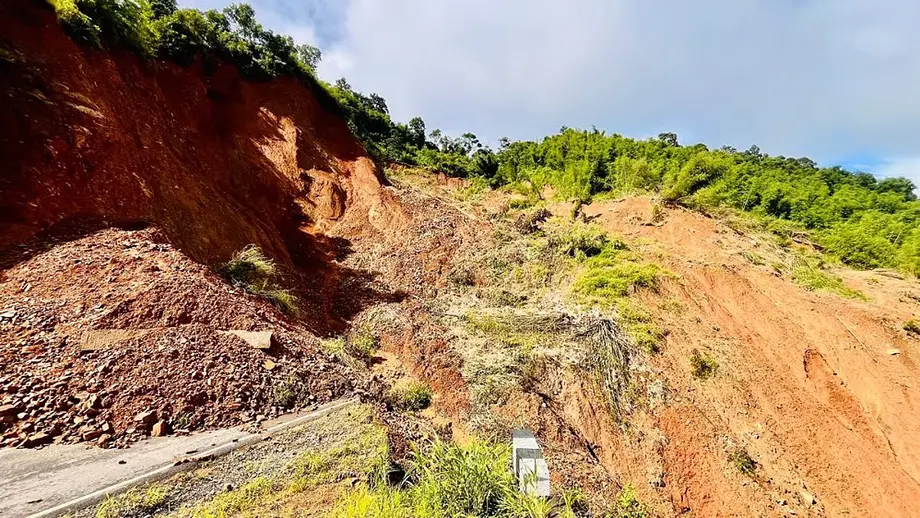
The July 2024 landslides at Mundakkai and Chooralmala in Wayanad killed hundreds and devastated settlements. The Meppadi region had been identified as ecologically sensitive by the Gadgil panel in 2011. The disaster gives the boundary debate urgency, but it does not establish that one policy choice caused the landslides or that an ESA notification would have prevented them.
Slope failures have multiple causes. Extreme rainfall can trigger movement, while soil conditions, slope shape, drainage and changes to land use influence vulnerability. Quarrying, road cutting and poorly planned construction can add pressures, but the accounts do not provide a finding assigning a precise contribution from each activity to the 2024 disaster.
The wider concern is cumulative impact. Several developments on one hillside may alter water movement and slope conditions in ways that cannot be understood by examining each project separately. Environmental assessments therefore need to consider the surrounding landscape, including settlements below a proposed activity.
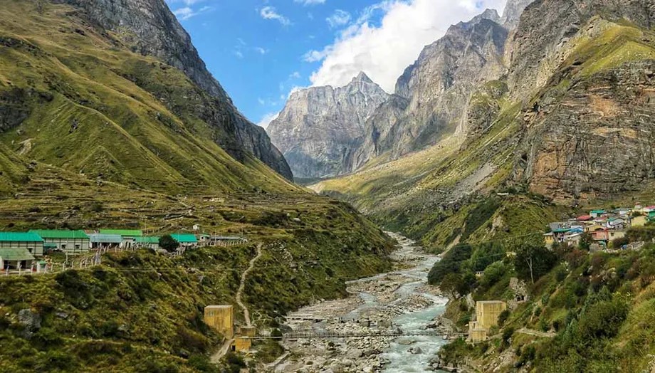
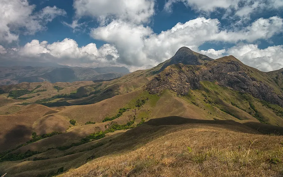
The same landscape supports water supplies far beyond its borders. The Western Ghats form watersheds for the Godavari, Krishna and Kaveri systems. This creates an uneven distribution of costs and benefits: restrictions can reduce economic opportunities locally, while dependable water flows and functioning ecosystems benefit distant communities.
The range's World Heritage recognition does not resolve this regulatory dispute. The UNESCO property designated in 2012 consists of 39 component parts, rather than a single designation covering every farm, village and slope across the Western Ghats. The proposed ESA is a separate domestic protection framework.
What can move forward before July 2027?
The expert committee chaired by Sanjay Kumar, a former Director General of Forests at the environment ministry, was formed in April 2022. Its extended tenure until July 2027 provides another period to examine state objections, village boundaries and competing development needs. That date is a committee deadline, not a confirmed date for issuing the final notification.
The draft allows finalisation in phases, either by state or through one combined notification. This provision also appeared in the previous draft. It could allow areas with resolved boundaries to proceed without waiting for all six states, although that would increase the need for coordination across state borders.
In her analysis of the deadlock, Observer Research Foundation research intern Suneha Majumder proposes joint boundary committees involving the Centre, states and village representatives. She also recommends graded zoning backed by surveys of soil mechanics, slope stability and hydrology. These are proposed ways to resolve objections, not measures already adopted.
Another proposal is Payment for Ecosystem Services, meaning financial support for communities or governments that maintain ecological benefits enjoyed by others. Potential funding could come from river basin cesses or budget transfers. No settled funding formula, entitlement or payment schedule is identified.
Community Forest Resource rights under the Forest Rights Act, 2006 offer a further route for involving gram sabhas in forest protection and management. Their recognition remains uneven, particularly in plantation areas. Linking regulation to those rights would require attention to who holds authority and how money reaches communities, rather than assuming that every resident or village already has recognised rights.
The Essentials
- The seventh draft proposes an ESA of 56,825.7 square kilometres across six states.
- Karnataka and Maharashtra together account for approximately 66.9% of the proposed area.
- The restrictions target mining, polluting industries and specified large developments, not blanket eviction or a ban on farming.
- Karnataka seeks physical surveys; Kerala's proposed reduced area is reported as either 8,590.69 or 8,711.98 square kilometres.
- The draft permits phased finalisation by state or a combined notification.
- The Sanjay Kumar committee has an extension until July 2027, but no confirmed final notification date is identified.
- Accurate boundaries, community rights and regulation of hazardous activities remain central unresolved issues.